The Chenab River is one of the most important rivers of the Indus River System and a major Himalayan River of north-western India and Pakistan. It is the largest tributary of the Indus River in terms of water volume among the five rivers of Punjab.
Historically, the river has been identified as the Askini mentioned in the Rig Veda. It was also known as Chandrabhaga in ancient India. Greek historians during 2nd century BC, referred this river as Acesines.
Also read: Rigvedic, Ancient, and Greek Names of Rivers of the Indus Valley System
![]() Indian Geography: Indian Drainage System
Indian Geography: Indian Drainage System
This article is part of Indian Drainage System. To get complete information, please read associated articles.
Chenab River Origin / Source
The Chenab River originates in the Higher Himalayas from the confluence of two rivers – Chandra River and Bhaga River. This confluence takes place at Tandi, in Lahaul–Spiti district, Himachal Pradesh. After the confluence, the combined river is called Chandrabhaga, which later becomes Chenab.
The Chandra River originates from Chandra Taal, near Bara-lacha la pass in Himachal Pradesh. While the Bhaga River originates from Surya taal lake, which is situated a few kilometers west of the Bara-lacha la pass in Himachal Pradesh. This pass also acts as a water-divide between these two rivers. The Chandra River transverses 115 km while the Bhaga River transverses 60 km through narrow gorges before their confluence at Tandi.
Chenab River Map
The Chenab River map and its linkage with the Indus River system is given below.

Chenab River Course
The course of the Chenab River can be divided into three major stages.
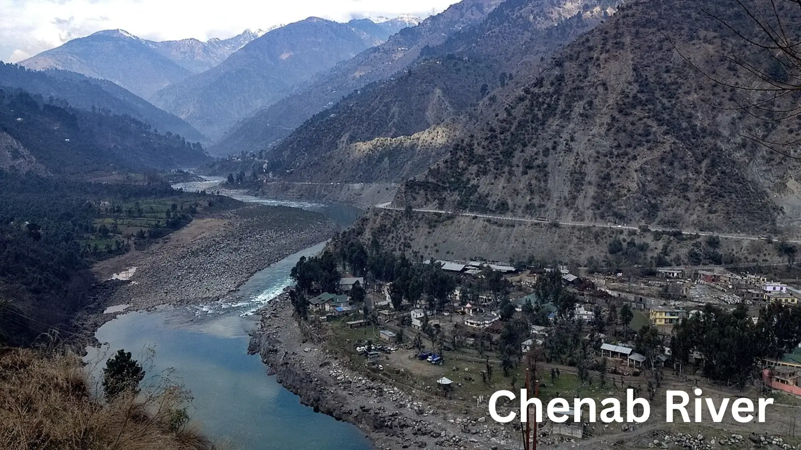
(i) Upper Course (Himalayan Mountain Course – India): From Tandi, the Chenab flows north-westward through the rugged valleys of Lahaul and Pangi. It cuts deep gorges through the Greater Himalayas and Pir Panjal Range, indicating strong vertical erosion.
The river enters the Union Territory of Jammu & Kashmir, flowing through districts such as Kishtwar, Doda, Ramban and Reasi. In this section, the river shows: steep gradients, narrow valleys, high hydro-electric potential.
(ii) Middle Course (Foothills and Plains – India to Pakistan): After crossing the Shivalik foothills, the Chenab enters Pakistan near Sialkot. The gradient reduces and the river widens. Meanders begin to develop, and lateral erosion becomes more prominent.
(iii) Lower Course (Alluvial Plains – Pakistan): In the Punjab plains of Pakistan, the Chenab flows slowly through fertile alluvial land.
At Trimmu in the Jhang District, Pakistan, Jhelum River joins Chenab. After joining the Ravi and Sutlej, it forms the Panjnad River, which flows for about 44 miles southwest to join the Indus River at Mithankot, near Uch Sharif, Pakistan.
Chenab River Length and Basin
Length and Drainage Basin:
- Total length: Approximately 960 km
- Drainage basin area: About 144,000 sq km
The basin extends across:
- India: Himachal Pradesh, Jammu & Kashmir
- Pakistan: Punjab Province
The basin supports dense population, intensive agriculture and irrigation networks.
Chenab River Tributaries
| Major Tributaries in India (and their origin) | Major Tributaries in Pakistan |
|---|---|
|
|
Major Distributaries of the Chenab River: In its lower course in Pakistan, the Chenab develops distributaries and canals due to low gradient. These distributaries are extensively used for canal irrigation, forming part of the Indus Basin Irrigation System, the largest in the world.
Chenab River Mouth / Confluence
The Chenab does not directly meet the Arabian Sea. It joins the Indus River indirectly. The Jhelum River joins the Chenab River at Trimmu in Punjab, Pakistan. The Chenab-Jhelum waters then proceed to form the Panjnad River, which ultimately flows into the Indus River near Mithankot in Sindh.
Chenab River Dams, Barrages, Canals
India
- Salal Dam on Chenab River in Jammu & Kashmir
- Baglihar Dam on Chenab River in Jammu & Kashmir
- Dul Hasti Project on Chenab River in Jammu & Kashmir
- Ratle Project on Chenab River in Jammu & Kashmir
- Pakal Dul Project on Marusudar (tributary) in Jammu & Kashmir
- Kiru Project on Chenab River in Jammu & Kashmir
Pakistan
- Trimmu Barrage for Irrigation & flood control
- Qadirabad Barrage for Canal regulation
- Marala Barrage for Irrigation
National Parks, Wildlife and Ecology
Kishtwar High Altitude National Park (J&K) lies within the upper Chenab basin. The basin supports – alpine forests, temperate coniferous forests, and rich biodiversity in upper reaches.
Lakes and Water Bodies
The two high-altitude lakes – Surya Tal (near Bhaga source) and the Chandra Tal (near Chandra source) contribute to the glacial and snow-fed nature of the river.
Distinguishing Geographical Features of Chenab River
- Largest Indus Tributary: Chenab carries maximum water among Indus tributaries.
- Glacial + Snow-Fed River: Strong seasonal flow variation due to snowmelt and monsoon rains.
- Deep Gorges: Upper course shows antecedent / superimposed characteristics.
- High Hydropower Potential: Steep gradients and narrow valleys in J&K.
FAQs Associated with Chenab River
Question: Where does the Jhelum River start and end?
Answer: The Jhelum River originates from Verinag Spring in the Pir Panjal Range of Jammu & Kashmir and ends by joining the Chenab River at Trimmu in Punjab, Pakistan.
Question: Why is the Jhelum River famous?
Answer: The Jhelum River is famous for draining the Kashmir Valley, flowing through Srinagar, forming Wular Lake, and its strategic importance under the Indus Waters Treaty
Question: Which is the largest tributary of River Jhelum?
Answer: The Kishanganga River (Neelum River) is the largest and most important tributary of the Jhelum River.
Question: Which city is located near the Jhelum River?
Answer: Srinagar, the summer capital of Jammu & Kashmir, is the major city located on the banks of the Jhelum River.
Question: Which river is longer, Jhelum or Ravi?
Answer: The Jhelum River is longer (about 725 km) than the Ravi River (about 720 km).
Question: Which lake is formed by the Jhelum River?
Answer: The Wular Lake, one of the largest freshwater lakes in Asia, is formed by the Jhelum River in Jammu & Kashmir.
Question: Which river originates in a spring at Verinag?
Answer: The Jhelum River originates from the Verinag Spring in the Anantnag district of Jammu & Kashmir.
Sources and References
Factual information is compiled from standard geography textbooks and official government sources. Interpretations and explanations are original.
- Read this article to understand basic terminology associated with the drainage system and river system.
- NCERT Class XI — India: Physical Environment
- Document on Jhelum River by Water Resource Information System (WRIS) of Ministry of Jal Shakti